Establishing Gulf of Mexico Baseline Seismicity 2024
By Johanna Villagomez, Ph.D. Geophysics Student
Background
The Texas Gulf Coast region is home to our nation’s critical energy infrastructure, such as pipelines, ports, and strategic petroleum preserves. Additionally, it is a key area for our future in sustainable energy because of the planned gigaton-scale geological carbon storage (GCS) sites. However, there are numerous active geological fault systems in the region, such as the Corsair, Clemente-Tomas, and Frio Fault Zones.
With increasing GCS activities, these faults pose a significant hazard to the safety of carbon storage as fluid injection in the subsurface can cause earthquakes. Therefore, it is critical to study the dynamics of these faults and potential seismic risks associated with any fault movement.
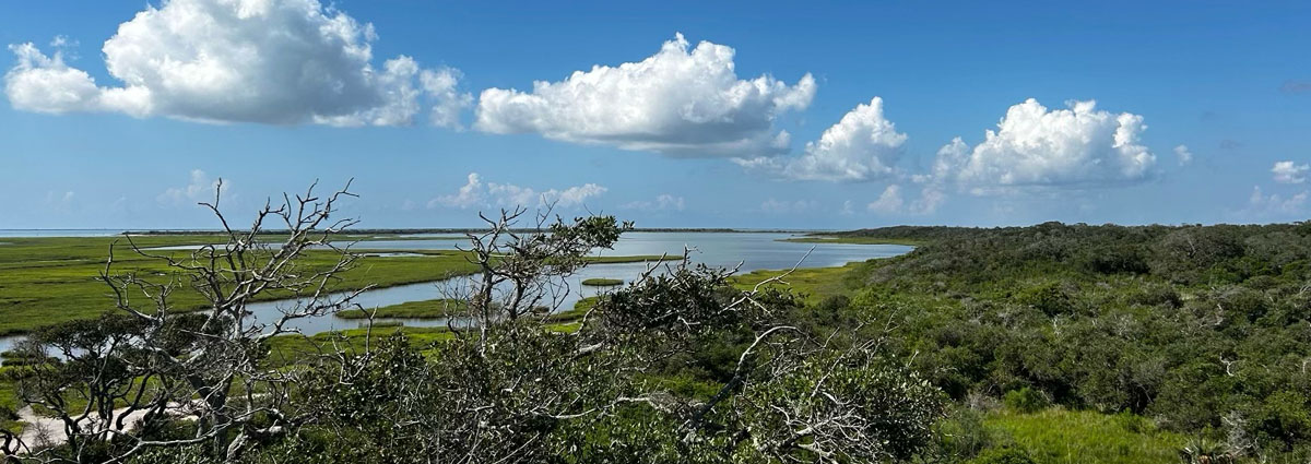
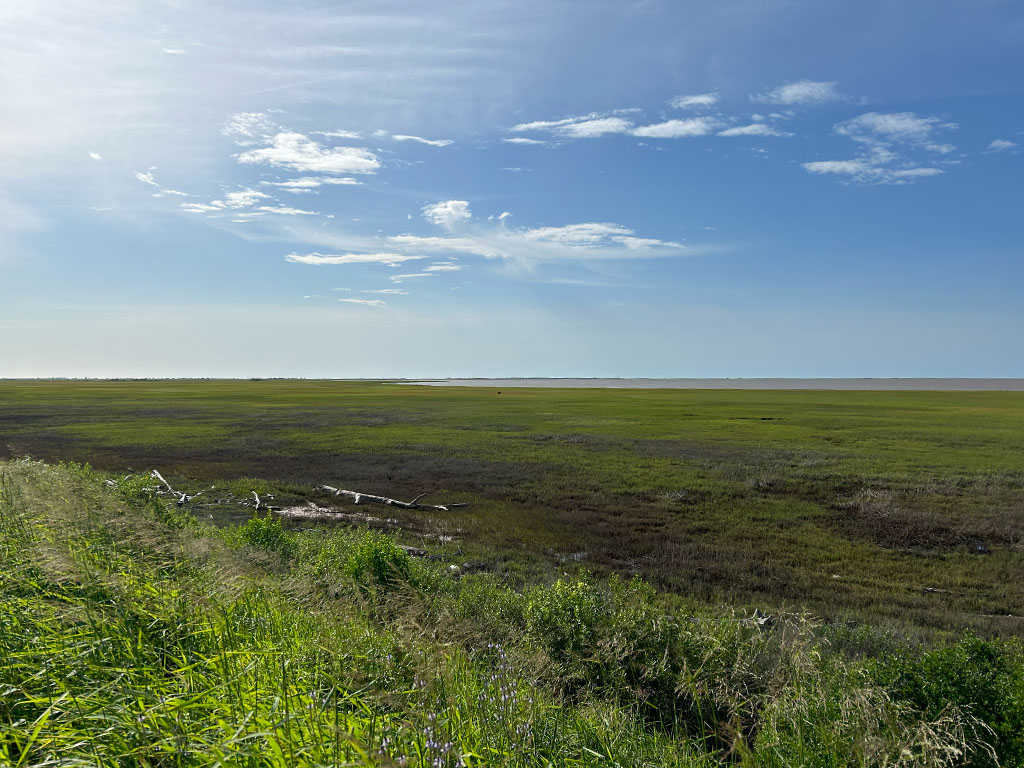
Currently, there are no seismic stations near the coast to monitor these activities (Figure 1a). To fill this observation gap, I have been managing a major year-long field deployment effort since September 2023.
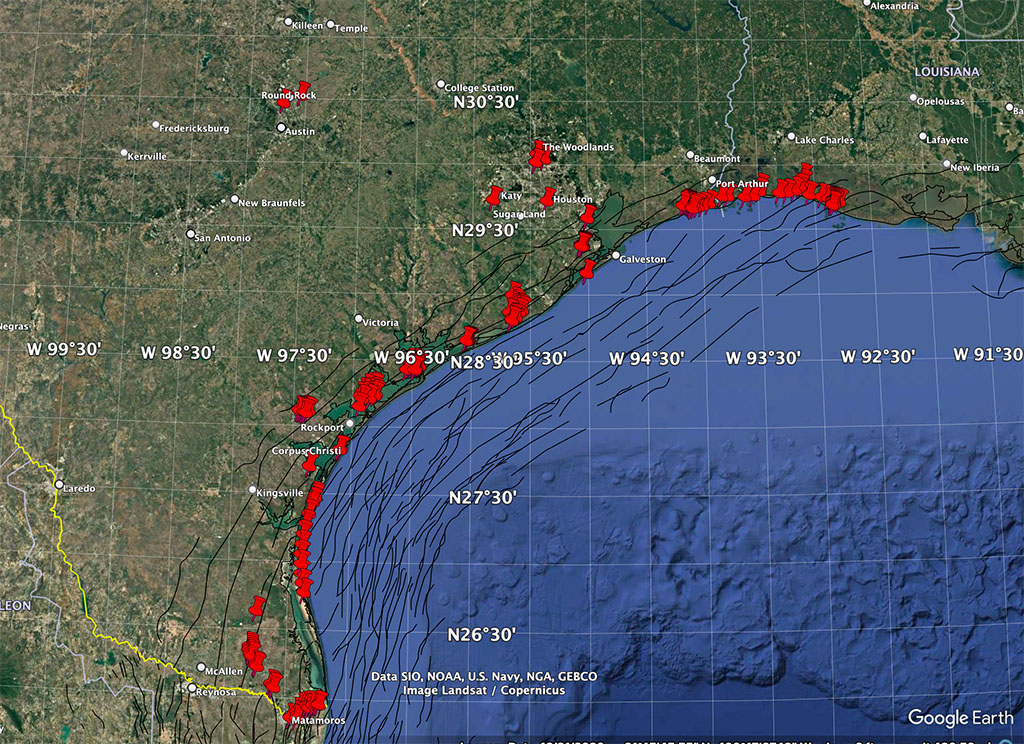
Leading a team of 4-5 UH Earth and Atmospheric Sciences faculty, graduate, and undergraduate students, we have deployed more than 200 three-component seismic nodes along the Gulf Coast, from Brownsville, Texas, to Grand Chenier, Louisiana (~800 km), within 80 km of the coastline (Figure 1b). The nodes are provided by the National Science Foundation-funded EarthScope Primary Instrument Center (EPIC) with the goal of establishing baseline seismicity.
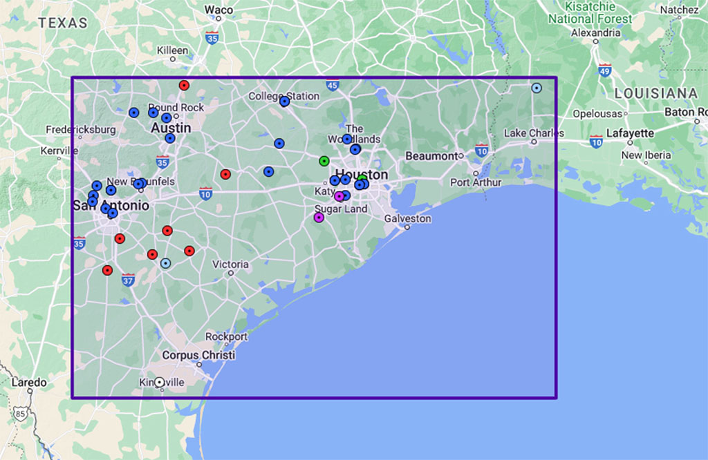
Before the nodes could be deployed, we had to secure permits from over a dozen organizations, including wildlife refuges, foundations, nature preserves, city parks, state parks, and national parks in both Texas and Louisiana. This permitting process not only enabled the deployment but also strengthened our connections with local communities and environmental organizations.
Fieldwork Overview
December 2023 – March 2024
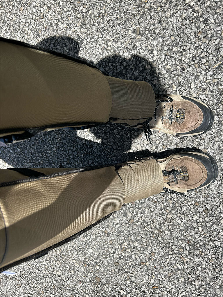
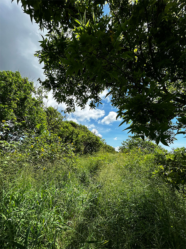
Field work started off strong as we secured our first permits in Louisiana and deployed 50 nodes. It was an exciting learning experience for me; being from Houston my entire life, it was the first time I encountered a variety of diverse environments. The process of deploying nodes was a continuous learning experience. I began to learn what soils were best for data quality and how to improve noise to signal ratios. I also became cautious of animals such as snakes, boars, and alligators while working in the field.

April 2024 – July 2024
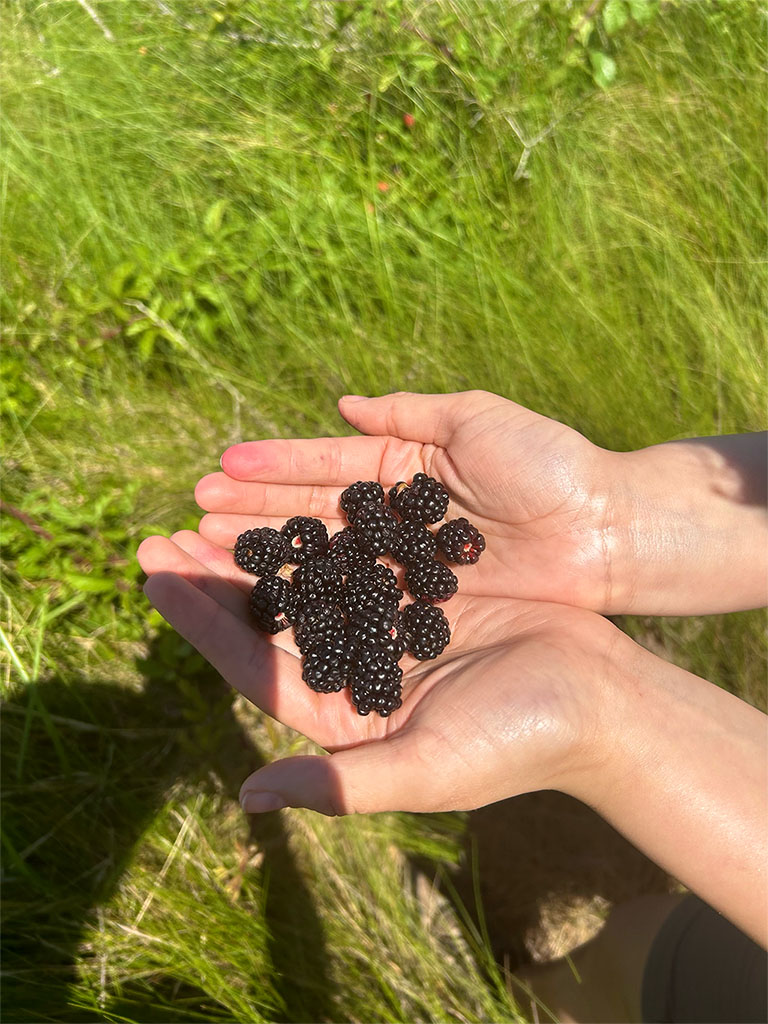
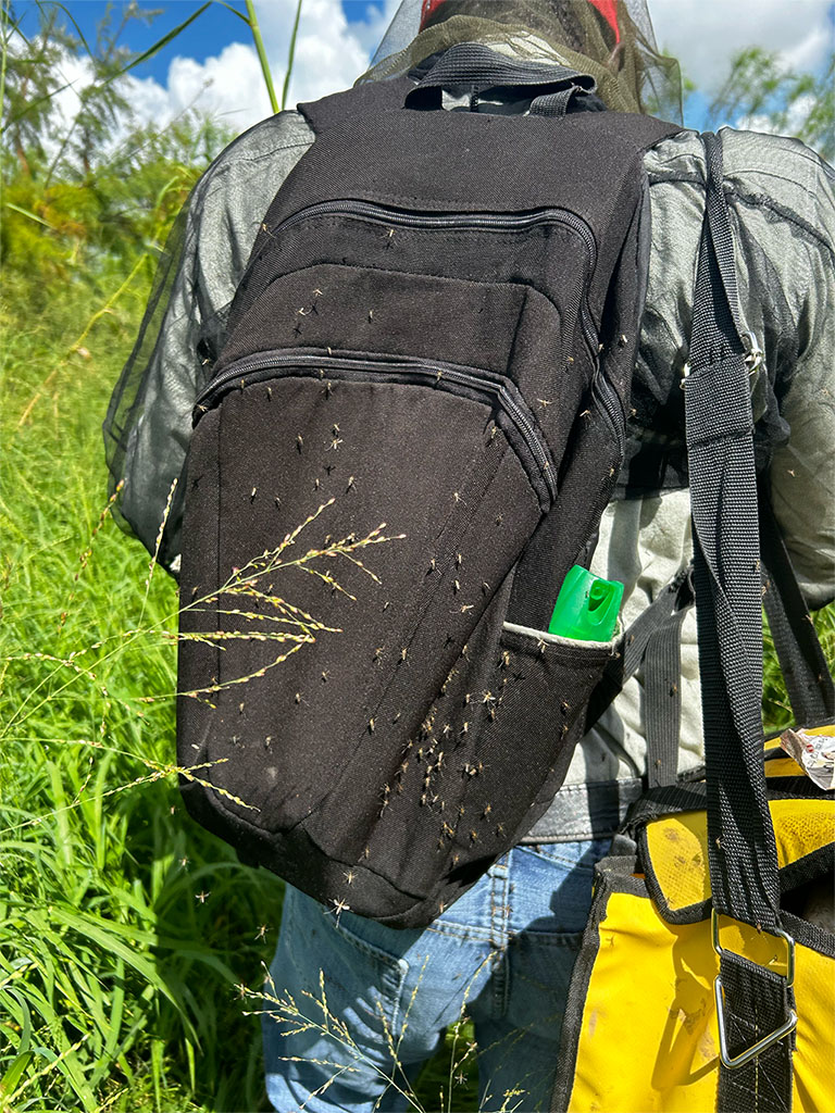
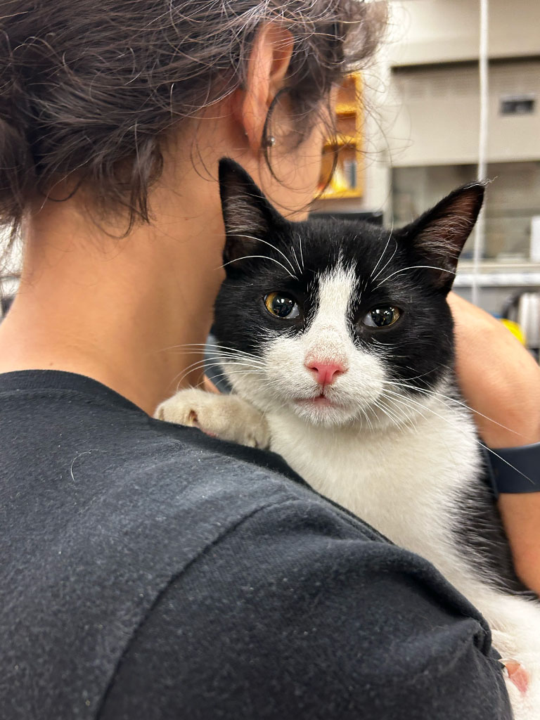
The cool spring days faded into humid summer, and the humidity brought millions of mosquitoes. We adapted by buying mosquito nets and learning about DEET levels in mosquito spray. Luckily for us, blackberries were in season, so it was nice to pick them during our down time. While placing nodes in Louisiana, we got stranded due to mechanical issues with our vehicle, but on the bright side, we rescued a cat and now my lab mate is a cat mom!
August 2024 – November 2024
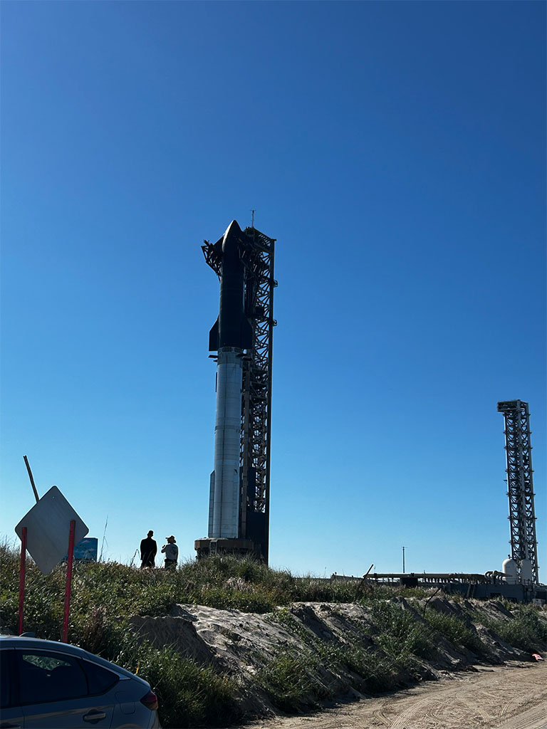
As fieldwork wraps up and the cool weather sets in, the focus has shifted to replacing nodes and harvesting data rather than deployments. For our last deployment, we placed nodes at Boca Chica, Texas, near the SpaceX facilities. Our goal is to capture seismic data from a rocket launch for future analysis.
Equipment and Processing
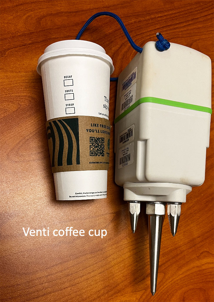
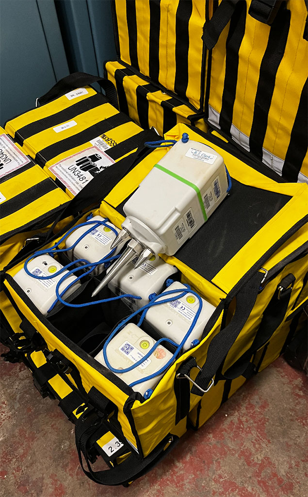
The seismic nodes are designed to record passive field data for approximately 30 days until the battery dies, then the nodes are retrieved. Data retrieval consists of removing nodes from the field and separating them into two components, where they can be charged and extracted for data. The extracted data is then uploaded to a server where I can access it for further processing.
Our plan is to monitor seismic activity for approximately one year, with data and node collection occurring monthly. After data acquisition, I will develop a graphical user interface (GUI) to facilitate the visualization and analysis of the collected data. This GUI will allow me to identify possible seismic events, such as earthquakes, thus allowing me to gain insight into fault dynamics in the region.
Reflections
I am incredibly grateful for the opportunity to be able to lead a field deployment of this scale and grow my skills as a geophysics researcher. This region is not only the center of energy production but also home to millions of people with diverse ethnicities. Monitoring the interactions between the ocean, land and subsurface faults is a pressing matter. Through my research, I aim to produce a scientific foundation crucial to both energy transition and the resilience of the Gulf Coast.